


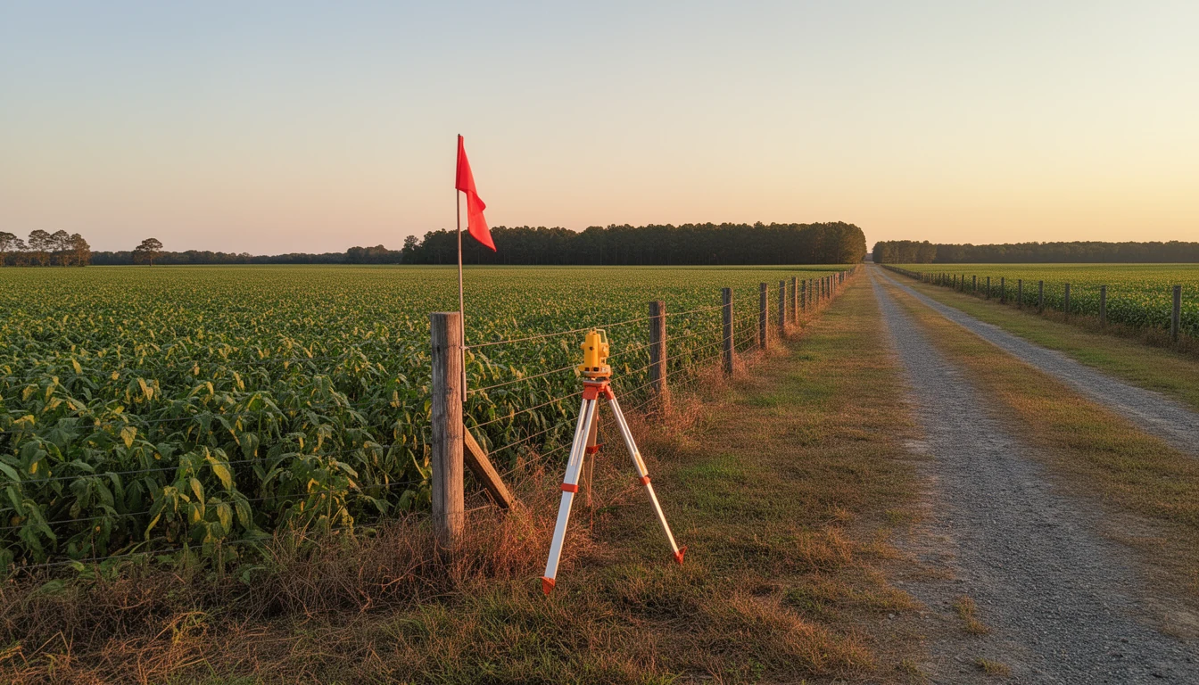
The surveyor’s truck is parked at the end of a farm lane, and he is standing at a corner where the deed says a fence should meet a tree line. The tree is gone. The fence is ten feet off from where the plat says it should be. The neighbor’s shed roof overhangs the line by a foot and a half. None of this shows up in the listing photos, and all of it shows up on a fresh survey.
If you are buying acreage in Northampton County, the survey is the piece of paper that connects what the deed promises to what the ground actually is. Here is what a fresh one catches, and what it does not.
What a boundary survey actually is
A boundary survey is field work by a licensed professional land surveyor who locates the property’s corners and lines on the ground, then draws what they found1. It is different from the sketch your county tax office keeps, and different from the plat a seller hands you from a 1970s subdivision. Those are records of intent. A survey is a measurement of what exists, taken now.
In North Carolina, boundary surveying is done under the NC Board of Examiners for Engineers and Surveyors, so the person signing the map is licensed and accountable for it1. That matters, because the map is what your title attorney, your lender, and the next buyer will treat as the truth about the parcel.
The fence problem
On Northampton County land, the most common thing a fresh survey catches is that the visible boundaries are wrong. Old deeds in this county go back to the 1700s, and many describe lines by metes and bounds: beginning at a pine tree, thence along the old road, to a stake on the riverbank2. Those trees came down, those roads moved, and generations of farmers put fences where it was convenient rather than where the deed said the line ran.
A fence that has stood for forty years can still be on the wrong side of the true line. A fresh survey tells you where the line is, which tells you whether you are buying what you think you are buying, and whether the neighbor’s pasture fence is actually your fence. It is far cheaper to learn that before closing than after a boundary dispute starts.
Easements and the right to get there
The second thing a survey catches is what crosses the property without being yours. Utility lines, power poles, drainage ditches, and shared driveways usually sit inside recorded easements, strips of land other people have a legal right to use.
That matters in two ways. First, access: if the tract is landlocked, the survey shows whether a recorded easement actually reaches a public road, or whether you would be relying on a path that has “always been used,” which is not the same as a right that will survive a sale. Second, improvements: a pole, a guy wire, or a neighbor’s septic line inside your building area is a problem the survey catches before you pour a foundation1.
The acreage math
Deeds in this county often state acreage as “more or less,” and that phrase does real work. A tract advertised as 50 acres can survey at 47 or 53. On a per-acre land market, that difference moves the price, and it changes how a lender and an appraiser see the deal.
A fresh survey gives you the measured acreage, and it gives your lender the confidence to close on the parcel rather than on the listing. When the survey comes back under the advertised figure, that is a negotiating fact. When it comes back over, that is a pleasant surprise you should get in writing.
River and lake lines: this county’s special wrinkle
Northampton’s boundaries include the Roanoke River on the southwest and the Meherrin on the east, and old river-fronting deeds describe lines that followed the water. Rivers move, which is why riverfront surveys are their own exercise.
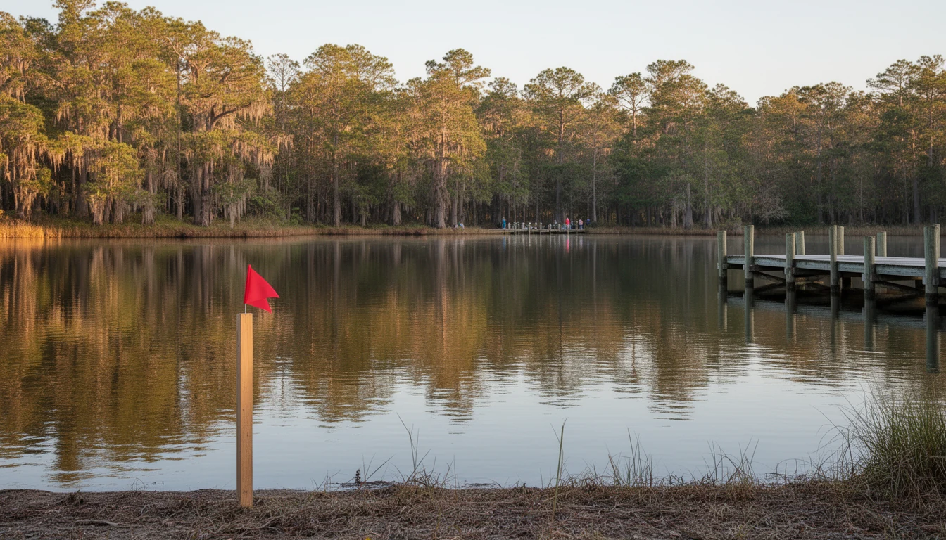
Then there is Lake Gaston. The reservoir, impounded in 1963, sits on the old Roanoke channel, and its North Carolina shoreline touches three counties: Warren, Halifax, and Northampton. The general pattern is that Northampton holds the north shore and Halifax the south shore where both border the lake, but the county line through open water does not always follow what looks like the intuitive side from a satellite photo3. A survey pins the parcel, and NC OneMap’s parcel GIS layer is the free check that confirms which county’s tax rate, school assignment, and permitting office actually apply before you write an offer3.
Shoreline setbacks on the lake are a Dominion Energy matter as much as a survey matter. Lake Gaston is a Dominion hydroelectric reservoir under a federal FERC license, so docks, boathouses, and shoreline stabilization need a Dominion shoreline management permit on top of county requirements4. The survey tells you where the water’s edge sits; Dominion tells you what you can build next to it.
What a survey does NOT do
Be clear about the limits. A boundary survey does not test the well, evaluate the septic system, value the timber, or tell you whether the tract is enrolled in present-use value taxation. Those are separate checks, and on Northampton acreage they matter as much as the lines do. The county health department’s environmental health program handles well and septic permitting, and the Northampton County Tax Office is the authority on present-use value status and any rollback exposure5. A survey answers the boundary question. You still need the other answers before you close.
The honest order of operations
The clean sequence is: pull the deed and any existing plat first, check NC OneMap for the county line, then order the survey during your due-diligence window so the results are back before your deadline. If the survey finds an encroachment, an acreage shortfall, or an access problem, you want time to negotiate the fix or the price while you still have leverage.
The Bottom Line
On Northampton County land, the survey is not a formality. It is how you learn whether the fence is yours, whether the road reaches the parcel, whether the acreage matches the ad, and which side of a county line the water actually puts you on. Travis has walked buyers through survey results across this county, from farm tracts off US-158 to Lake Gaston shoreline parcels, and can help you read what the map means before your due-diligence clock runs out. Call or text him at (252) 202-4945, or schedule a chat, and start with the land and acreage listings.
Boundary, tax, and permitting details change with each parcel; verify current specifics with your surveyor, the Northampton County Register of Deeds, NC OneMap, and Dominion Energy before relying on them. NC Real Estate Broker, License #334264. Equal Housing Opportunity.
Footnotes
-
NC Board of Examiners for Engineers and Surveyors: ncbels.org ↩ ↩2 ↩3
-
NCpedia, Northampton County: ncpedia.org/geography/northampton ↩
-
NC OneMap parcel GIS: nconemap.gov ↩ ↩2
-
Dominion Energy, Lake Gaston and Roanoke Rapids Lake Permitting: dominionenergy.com ↩
-
Northampton County Health Department, Environmental Health: northamptonhd.com ↩