

Northampton County sits along the fall line where North Carolina's coastal plain rises into the piedmont, its northern edge the state line with Virginia. One spelling note before the history itself: the county's name is Northampton — one word, no capital H in the middle. “Northhampton” is the misspelling that shows up constantly, and “North Hampton” (two words) just as often, both usually headed for Massachusetts, Pennsylvania, or Virginia's own unrelated Northamptons, not this one. With that settled: the land itself has a longer memory than the county's 1741 charter, and that history starts well before there was a Northampton County to speak of.
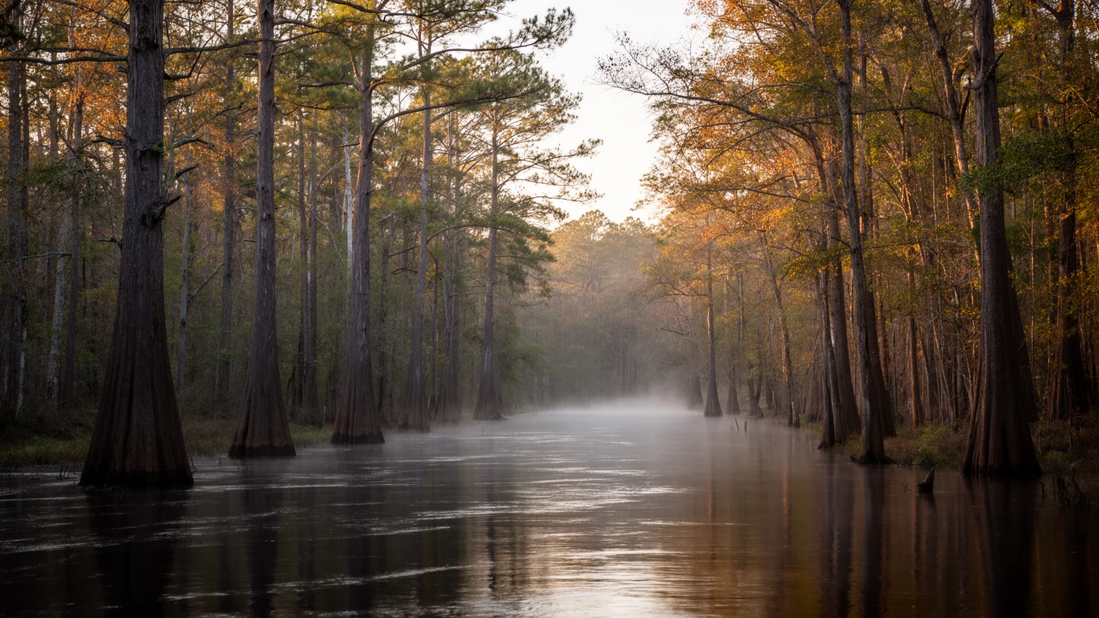
Pre-1741 Meherrin & Tuscarora Homelands
The Meherrin, an Iroquoian-speaking people who call themselves Kauwets'a:ka — “People of the Water” — are the documented presence here longest before the county existed. English colonist Edward Bland recorded the first written encounter with the Meherrin in 1650, at a village near present-day Emporia, Virginia2. Colonial pressure and Bacon's Rebellion pushed the tribe south: by around 1691 the Meherrin had relocated into what is now North Carolina, and in 1680 and again after a 1729 boundary resurvey, colonial authorities recognized Meherrin reservation lands along the Chowan-Meherrin drainage — one of the earliest of those tracts, Menderink, appears to sit within the footprint of modern Northampton County2.
During the Tuscarora War of 1711–1713 — the colony's bloodiest conflict with its Native neighbors — the Meherrin allied with the Tuscarora, not with the English colonists2. Today, most Meherrin community life is centered in neighboring Hertford County, with continuing family and community presence in Bertie, Gates, and Northampton counties as well2 — not a single headquarters relocated wholesale, but a people who never fully left this part of the state.
1741–1823 Northampton Courthouse to Jackson
Northampton County was formed in 1741 from Bertie County, in an era when the North Carolina General Assembly routinely carved out new counties to shorten the ride to a courthouse, and just as routinely named them to flatter British peers. This one honors James Compton, Earl of Northampton — an English nobleman who, so far as the record shows, never set foot on the ground that carries his title1.
The county seat itself came a year later. It was chartered in 1742 as “Northampton Courthouse” — a functional name for a functional purpose, not a proper town in the usual sense — and carried that name for eighty-one years before the General Assembly renamed it Jackson in 1823, in honor of Andrew Jackson3. A courthouse that took eight decades to earn a real name is a useful early sign of how this county has always organized itself: around the business of governing, first, and around any single town's identity a distant second.
A courthouse that took eight decades to earn a real name is a useful early sign of how this county has always organized itself.
1762–1858 The Courthouse Square
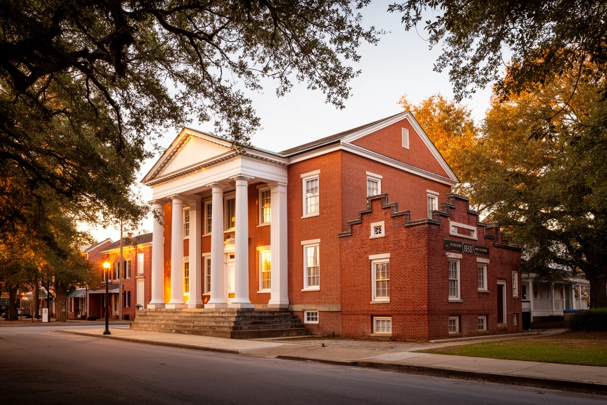
The ground under Jackson's courthouse has its own paper trail, separate from the town's. Jeptha Atherton developed the site in 1762, offering a building for the county's court sessions before any formal courthouse stood there. The structure now on the square — a Greek Revival brick temple-form building — was raised in 1858, and the Northampton County Courthouse Square was added to the National Register of Historic Places on April 11, 19774, a full 27 years before the wider historic district around it earned its own separate listing.
1750s–1880s Railroads & the Courthouse Towns
Northampton County never grew one dominant city, and its small towns' histories explain why: most of them owe their existence to a railroad company or a courthouse business, not to organic growth around a single center.
Rich Square is the county's oldest incorporated town, chartered in 1869 and again in 1883, and traces its name to a 1717 land purchase of 640 acres. It became a center of North Carolina Quaker life early, with a Religious Society of Friends congregation established there in 17605. Conway and Woodland grew up nearby in the same courthouse-town pattern — Conway tied to the railroad's expansion and Woodland to the timber trade before its economy turned to peanuts and corn. Sources genuinely disagree on Woodland's own incorporation date, some giving 1883 and others 1965; this page states both rather than picking one silently, since neither has displaced the other in the record.
Seaboard began as a different place under a different name. A small settlement called Concord stood at the site by 1751, missed becoming a railroad stop when the Portsmouth and Roanoke Railroad Company failed in 1844 before building a depot, then got a second chance: the Seaboard and Roanoke Railroad built the town as company housing for its own employees in the mid-1840s, and the settlement took the railroad's name sometime between 1845 and 1860. Seaboard incorporated in 18776.
Garysburg, on the county's northeastern edge, sits where the Petersburg Railroad reached after its 1830 charter, directly across the Roanoke River from Weldon. When the Wilmington and Weldon Railroad opened in 1840, it was — at 161.5 miles — the longest railroad in the world at the time of its completion, and it made Weldon and Garysburg together a rail junction for the whole eastern half of the state7.
Most of the county's towns owe their existence to a railroad company or a courthouse business, not to organic growth around a single center.
1863 Boon's Mill
The Wilmington and Weldon Railroad that built Garysburg also made Northampton County a Civil War target. On July 28, 1863, a Union column under Colonel Samuel Spear pushed toward Weldon aiming to burn the railroad bridge there and cut the Confederacy's main supply line running north to Petersburg and Richmond. Confederate Brigadier General Matt W. Ransom — commanding North Carolina regiments and Georgia artillery — met and repulsed Spear's force at Boon's Mill, on the road from Jackson to Garysburg. A five-hour engagement, mostly an artillery duel broken up by a storm, ended with the Union column withdrawing; casualties were light on both sides, with one Confederate private killed against roughly three Union dead8. The bridge held, and the skirmish effectively ended the year's Union effort against it.
Ransom himself later represented North Carolina in the U.S. Senate for over two decades and served as a diplomat to Mexico under President Cleveland — and when that public career ended in 1897, he came back to Northampton County, where he was born and where he'd fought, and stayed8.
1825–1953 The Jackson Historic District
The residential and commercial blocks that grew up around Jackson's courthouse square over the following century were added to the National Register of Historic Places on June 16, 2004, as the Jackson Historic District — 168 contributing buildings across roughly 110 acres, with a documented period of significance running from about 1825 to 19539. That span covers the courthouse's own 1858 construction and runs well into the twentieth century's brick commercial storefronts — a full library of the town's building styles, not one architectural moment frozen in place.
1963 Lake Gaston Arrives
The county's most significant twentieth-century change came from the water, and it is recent enough that people who live on it today can remember when it wasn't there. In 1963, the Virginia Electric and Power Company — VEPCO, now Dominion Energy — impounded the Roanoke River at Thelma, North Carolina, building a 3,600-foot dam for hydroelectric power. The resulting reservoir, Lake Gaston, covers roughly 20,000 acres, runs about 34 miles long, and carries more than 350 miles of shoreline10 — an entirely new waterfront geography laid over land that had been ordinary farm and forest for the county's first 222 years.
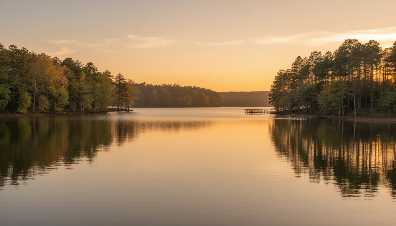
Lake Gaston's north shore falls mostly in Northampton County, with the south shore across the water in neighboring Halifax County; the unincorporated community of Henrico grew up around the Northampton side once the lake filled. The lake has been part of the county's identity, and its real estate market, ever since.
An entirely new waterfront geography laid over land that had been ordinary farm and forest for the county's first 222 years.
Present The County Today
Northampton County counted 17,471 residents at the 2020 Census, spread across roughly 537 square miles11 — a low enough density that the county's oldest pattern, small courthouse towns rather than one city, is still exactly how it functions day to day. Jackson's courthouse square carries two separate National Register listings earned 27 years apart. Rich Square, Conway, Woodland, Seaboard, and Garysburg still trace their own founding stories back to a Quaker congregation, a railroad company, or a courthouse business, not to each other. And Lake Gaston's shoreline, the newest geography in the county by three centuries, has become one of the two or three reasons buyers look at Northampton County at all. None of that is decoration; it's the same shape the market takes today.
Primary Sources & Further Reading
The State Library of North Carolina's encyclopedia project. Source for the county's 1741 formation, its naming, and its town and geography data.
NC Highway Historical Marker Program
NC Dept. of Natural & Cultural Resources. Source for the Meherrin Tribe (A-95) and Boon's Mill (E-64) marker texts and the history behind each.
NC State Historic Preservation Office
National Register of Historic Places documentation for the Northampton County Courthouse Square (1977) and the Jackson Historic District (2004).
The tribe's own history pages, cross-checked against NCpedia's “Meherrin: People of the Water” entry for reservation and migration history.
Sources consulted for this page include NCpedia (the State Library of North Carolina's peer-reviewed encyclopedia project), the NC Highway Historical Marker Program (NC DNCR), National Register of Historic Places documentation via NC HPO and the Wikipedia-maintained NRHP index cross-checked against it, the Meherrin Indian Nation's own history pages, the Town of Rich Square's history page, and the Lake Gaston Association. Numbered citations for specific claims appear below. Where sources genuinely disagree — Woodland's incorporation date, and a minor gap between NCpedia's and the U.S. Census Bureau's land-area figures for the county — this page says so rather than picking one silently. Dates and institutional details are verified against these sources; nothing here is estimated or invented.
The Lake Gaston photograph on this page is an AI-generated illustrative representation of the lake described in the text, not an archival or documentary photograph.
- Northampton County's 1741 formation from Bertie County and its naming for James Compton, Earl of Northampton, per NCpedia's geography entry. NCpedia, “Northampton County,” ncpedia.org/geography/northampton. ↩
- Meherrin migration and reservation history — the 1650 Edward Bland encounter, the circa-1691 relocation into North Carolina, the 1680/1729 reservation tracts (including Menderink, sited within present-day Northampton County), the Meherrin's Tuscarora War (1711–1713) alliance with the Tuscarora rather than the colonists, and the tribe's present-day community centers — per NC DNCR's Highway Historical Marker Program entry for the Meherrin Tribe (A-95) and NCpedia's “Meherrin: People of the Water.” NC DNCR, “Meherrin Tribe (A-95),” dncr.nc.gov. ↩
- Jackson's 1742 charter as “Northampton Courthouse” and its 1823 renaming for Andrew Jackson, per NCpedia's Northampton County entry (as above) and the North Carolina History Project's own Northampton County entry. ↩
- The Northampton County Courthouse Square — Jeptha Atherton's 1762 development of the site, the 1858 Greek Revival courthouse, and the April 11, 1977 National Register listing — per the Wikipedia-maintained National Register entry for the property, cross-checked against NC HPO's published NRHP listings for Northampton County. ↩
- Rich Square's 1869/1883 incorporation and its 1760 Quaker congregation, per the Town of Rich Square's own published history and NC DNCR's Highway Historical Marker Program entry for the Rich Square Monthly Meeting (E-76). ↩
- Seaboard's origin as the settlement of Concord (documented by 1751), its renaming as a Seaboard and Roanoke Railroad company town between 1845 and 1860, and its 1877 incorporation, per the Wikipedia-maintained entry for Seaboard, North Carolina and the NRHP documentation for the Seaboard Historic District. ↩
- The Petersburg Railroad's 1830 charter reaching Garysburg opposite Weldon, and the Wilmington and Weldon Railroad's 1840 completion at 161.5 miles — the longest railroad in the world at the time — per NCpedia's entry on the Wilmington and Weldon Railroad. NCpedia, “Wilmington & Weldon Railroad,” ncpedia.org/wilmington-weldon-railroad. ↩
- The July 28, 1863 engagement at Boon's Mill — Col. Samuel Spear's Union column, Brig. Gen. Matt W. Ransom's Confederate repulse, the five-hour skirmish, and its light casualties — per NC DNCR's Highway Historical Marker Program entry for Boon's Mill (E-64) and NCpedia's “Boon's Mill, Battle of.” Ransom's post-war Senate career and 1897 return to Northampton County per NC DNCR's marker entry for Matt W. Ransom (E-10). ↩
- The Jackson Historic District's June 16, 2004 National Register listing, its 168 contributing buildings across roughly 110 acres, and its circa-1825–1953 period of significance, per the Wikipedia-maintained NRHP entry for the district, cross-checked against NC HPO's published listings. ↩
- Lake Gaston's 1963 impoundment by the Virginia Electric and Power Company (VEPCO, now Dominion Energy) at Thelma, NC, and the lake's approximately 20,000-acre, 34-mile, 350-mile-shoreline dimensions, per the Lake Gaston Association and Virginia Places' published lake histories. ↩
- 2020 Census population (17,471) and county land area, per NCpedia's geography entry (536.59 sq mi) and the U.S. Census Bureau (536.70 sq mi) — the two published figures differ slightly; both are given rather than one asserted as exact. ↩