

An old Northampton County deed is not just a piece of paper that transfers land. In this county it is a record of boundaries that moved, families that split title without a lawyer, and a working river economy that a reservoir now covers. Read it the way a title examiner does, and it tells you the things the listing photo cannot. Here are the eleven things I look for in every old deed here before a buyer signs.
1. Which county actually recorded it
Northampton was formed in 1741 from Bertie County, and in 1759 the eastern part was redrawn to create Hertford County. So an 18th-century deed recorded as “Northampton County” may describe land that today sits across a county line. The deed tells you which register of deeds chain to search, and whether the county line has moved under the parcel since it was written.
2. Whether the title chain has gaps
The biggest title issue in rural eastern NC is heirs’ property: land that passed down without a recorded transfer, still owned by “the heirs of” someone who died decades ago. An old deed that names multiple heirs, or a chain that jumps from a person to “his heirs,” is the sign to run the title search to ground before you commit. A clean title is a result, not a given.
3. Metes and bounds, not a plat
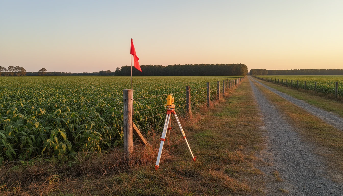
Old deeds describe boundaries by landmarks: “beginning at a pine tree on the bank of the Roanoke,” “thence along the old road.” Those trees come down and those roads move. The deed tells you the parcel was surveyed by metes and bounds, which means a modern boundary survey is how you learn where the lines actually run today.
4. The original grant under Lord Granville
Northampton lay inside the Granville District, the northern half of the colony that stayed with the heirs of the Lords Proprietors. Agents of Lord Granville made land grants from 1748 to 1763, and those grant records are the root of most old chains in the county. The county itself was named for James Compton, Earl of Northampton, when it was formed in 1741.
5. Present-use value and the tax bill
A deed that describes the land as farm or timber country, generation after generation, is a clue the tract may be enrolled in North Carolina’s present-use value program, which taxes qualifying agricultural, horticultural, and forestland on its working value rather than market value. That is a real tax break, and it carries rollback exposure: take the land out of qualifying use and the county can bill years of deferred tax plus interest. The deed tells you to ask the Northampton County Tax Office what a change of use would trigger.
6. Road access that is recorded, not assumed
Old deeds granted “a right of way” or reserved access along a neighbor’s lane. If the deed is silent on access, you may be buying a landlocked tract. A well-worn path that has “always been used” is not a recorded easement. The deed tells you whether the access you can see on the ground is also on paper.
7. What the land was for
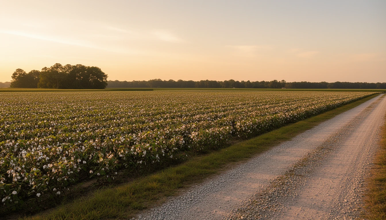
Northampton’s economy has run on cotton, peanuts, soybeans, and corn for two centuries, with timber on the wetter ground. Old deeds often reserve timber rights or mineral rights, or describe the tract by its use: “the mill tract,” “the field below the bluff.” The deed tells you what the land was cleared for, which is usually what it is still good for.
8. The river boundary under the lake
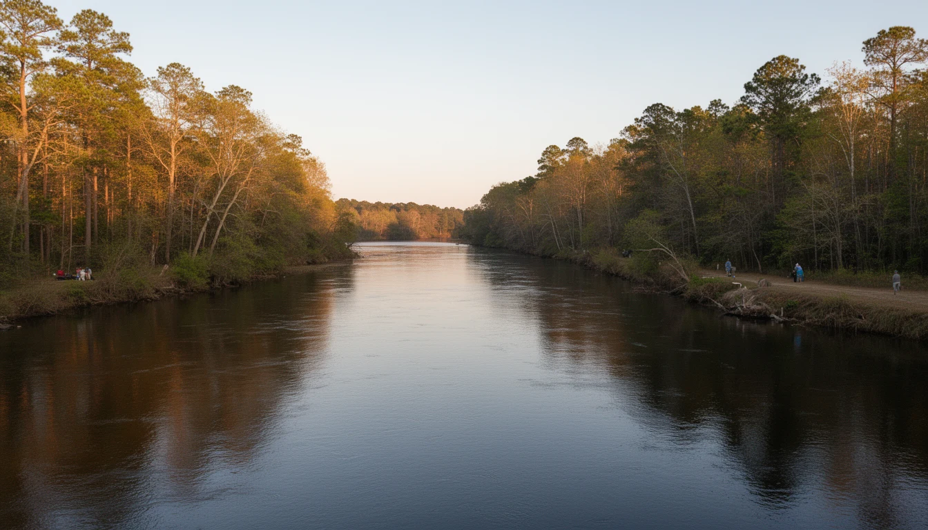
The Roanoke River determines the county’s southwest border, and the Meherrin marks part of the east. Old river-fronting deeds describe boundaries that followed the water, and rivers move. Where Lake Gaston now sits, the reservoir impounded in 1963 covered the old crossings; Dominion Energy operates it under a federal FERC license, and shoreline work requires a Dominion shoreline-management permit in addition to county rules. A deed that reads “riverfront” may describe land that today is lakefront, or land that is under the lake.
9. The town the deed names
Jackson was established in 1742 as “Northampton Courthouse” and renamed in 1823 for Andrew Jackson. A deed that names “Northampton Courthouse” rather than Jackson tells you it predates the 1823 renaming. The courthouse that stands today dates to 1858, and the historic district around it, listed on the National Register in 2004, holds roughly 110 acres and 168 contributing buildings.
10. Lakefront that was once riverfront
This is the practical consequence of item 8. An old deed that describes Roanoke riverfront can sit today on Lake Gaston’s north shore, where the rules, taxes, and permits are the reservoir’s, not the river’s. The deed tells you to verify the parcel against NC OneMap and confirm what the water level actually covers before you price the view.
11. Who owned it, and who will buy it from you
The last thing an old deed tells you is honesty about resale. The same layers that make the title interesting, the heirs, the metes and bounds, the working-land history, are what make a parcel unusual, and unusual parcels sell to a thin pool in a county of about 17,500 people. Buy the history because you want it, and price the time it will take to sell when you leave.
The Bottom Line
An old Northampton County deed is the closest thing to a biography of the land. It tells you where the lines ran, who held the title, what the ground was used for, and which modern rules apply because of all three. Travis has pulled chains of title across this county and walked buyers through exactly what their deed meant before they signed. Call or text him at (252) 202-4945, or schedule a chat, and start with the land and acreage listings to see the parcels these questions come attached to.
Boundary, grant, tax, and permit details change over time; verify current specifics for any parcel with the register of deeds, the Northampton County Tax Office, NC OneMap, and Dominion Energy before relying on them. NC Real Estate Broker, License #334264. Equal Housing Opportunity.